
Survey
|
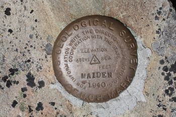
| USGS Survey Marker |
Survey data is vital to the monitoring of a dam and helps to warn dam owners of potential problems occurring in or around the dam over time. Without comparisons between past and current survey, imperceptible changes in the positioning of the dam over time are likely to go unnoticed.
“Surveys shall be performed at night to avoid troublesome optical distortions due to sunlight and heat radiation. The surveys shall be in accordance with the accuracy with methods established for first-order triangulation measurements as stipulated by the U.S. Coast and Geodetic Survey.”[1]
Monuments
“Stable monuments are required for both horizontal and vertical control. Monuments and their stability are integral parts of the accuracy of each survey project. Erroneous survey control monumentation can contribute to costly errors in all phases of project design and development.”[2]
"In the earliest phase of project development a survey monumentation plan shall be developed. This plan shall consider monuments required for the life of each project, i.e., planning, acquisition, design, construction, operation, and maintenance. This plan will eliminate surveys performed using different survey control accuracies and provide a common base for all surveys for each project."[2]
"Permanent monuments shall be defined as monuments that are set in relatively stable material or in a structure for the purpose of preserving the location of either a horizontal control station, the elevation of a point above an adopted datum (bench mark), or other location and/or elevation of any point of special significance when its preservation is required permanently or for longer than 2 years."[2]
“The location of the reference monuments and monolith marker points should be established along the proposed base line... The base line should be located so that at completion of construction the line of sight between the reference monuments is unobstructed. Also, consideration should be given to location based on least interference from other operations during alignment measurements. The reference monuments should be located off the structure a sufficient distance not to be influenced by movement of the structure. In instances where this is impractical, the first marker point at each end of the structure may be used as reference points providing the end blocks have low and level foundations. The reference monument elevation should be the least practical vertical height above the structure to maintain the least angle between the precision instrument and monolith marker points. Normally two marker points will be installed on each side of a vertical joint between monoliths. An overall plan and a section between reference monuments and first marker point on the structure should be part of the design submission.”[1]
Best Practices Resources
![]() EM 1110-1-1002 Survey Markers and Monumentation (USACE, 2012)
EM 1110-1-1002 Survey Markers and Monumentation (USACE, 2012)
![]() EM 1110-2-4300 Instrumentation for Concrete Structures (USACE, 1987)
EM 1110-2-4300 Instrumentation for Concrete Structures (USACE, 1987)
Trainings
![]() On-Demand Webinar: Using Instrumentation for Dam Safety Monitoring
On-Demand Webinar: Using Instrumentation for Dam Safety Monitoring
Citations:
Revision ID: 4117
Revision Date: 11/03/2022