
Photogrammetry
|
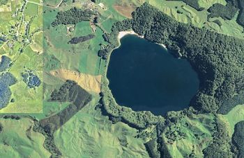
| Aerial Photograph |
"Photogrammetry is generally defined as the art and science of making accurate measurements from aerial photography. For the purposes of this manual, aerial photography will be limited to near vertical photography taken from a conventional fixed-wing or rotary-winged aircraft of satellite. Aerial photographs, as they are initially exposed, do not provide for accurate measurements. Distortions in the camera systems coupled with the curvature of the earth must be accounted for and eliminated in a series of techniques and processes in order to make measurements at a predicted accuracy across the area of coverage of an aerial photograph. These photogrammetric processes allow the user to view three dimensions from a two-dimensional surface (aerial photograph)."[1]
Photogrammetry can be used to create detailed geologic maps that can be helpful in dam design.
Best Practices Resources
![]() National Engineering Handbook: Chapter 2 - Engineering Geologic Investigations (NRCS, 2012)
National Engineering Handbook: Chapter 2 - Engineering Geologic Investigations (NRCS, 2012)
![]() Design of Small Dams (USBR, 1987)
Design of Small Dams (USBR, 1987)
Trainings
Citations:
Revision ID: 5581
Revision Date: 12/14/2022