ASDSO Dam Safety Toolbox

National Engineering Handbook: Chapter 17 - Flood Routing

From ASDSO Dam Safety Toolbox
Revision as of 22:50, 20 July 2022 by Camrenbt (talk | contribs) (Created page with "{{References Template |author= <!-- Add author/publisher below--> Natural Resources Conservation Service |date= <!-- Add publication year --> 2014 |picture= <!--create a file below in format File:example.png, then add picture to that file--> File:NEH17.jpg |link= <!-- Add Url to document below (To retrieve URL from a pdf, add document as a pdf file and copy link address from its page--> https://3.238.206.13/images/a/a6/NEH17.pdf |abstract= <!-- Add document summ...")
(diff) ← Older revision | Latest revision (diff) | Newer revision → (diff)
Jump to: navigation, search

Natural Resources Conservation Service, 2014
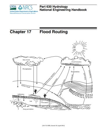


Flood routing and hydrograph generation (see Part 630 Hydrology, chapter 16, 2007) form the key elements of a watershed hydrologic model. Stream channels, floodplains, and reservoirs can have a significant impact on the delivery of water to any location along a stream network. Flood routing impacts the magnitude of the peak discharge, the time of the peak discharge, depth and extent of flooding, and environmental factors such as stream bank erosion, floodplain scour, sediment transport, and deposition.


Document Download:

2014 (current)
1967


Errata/Special Notes:

None


Revision ID: 1858
Revision Date: 07/20/2022