
Reservoir Data: Difference between revisions
From ASDSO Dam Safety Toolbox
No edit summary |
No edit summary |
||
| (2 intermediate revisions by 2 users not shown) | |||
| Line 2: | Line 2: | ||
[[Category:Dam Breach Inundation Analysis]] | [[Category:Dam Breach Inundation Analysis]] | ||
---- | ---- | ||
{{Picture | |||
|image= | |||
<!-- Add image file name --> | |||
Kennick_Reservoir_Dartmoor.jpg | |||
|link= | |||
|caption= | |||
<!-- Add picture caption --> | |||
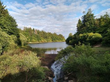
Kennick Reservoir from a bridge. | |||
(Image Source: [https://commons.wikimedia.org/wiki/File:Kennick_Reservoir,_Dartmoor,_July_2020.jpg Wikipedia]) | |||
}} | |||
<!-- Delete any sections that are not necessary to your topic. Add pictures/sections as needed --> | <!-- Delete any sections that are not necessary to your topic. Add pictures/sections as needed --> | ||
In order to simulate failure of a dam and estimate the impacts of the resultant flood wave, stage-storage information for the full depth of the reservoir is required. This can often be obtained from historical design or [[construction]] records. If significant changes to storage are anticipated due to [[sedimentation]] or other causes, bathymetric [[survey]] can be used to develop updated stage-storage information for the reservoir. | In order to simulate failure of a dam and estimate the impacts of the resultant flood wave, stage-storage information for the full depth of the reservoir is required. This can often be obtained from historical design or [[construction]] records. If significant changes to storage are anticipated due to [[sedimentation]] or other causes, bathymetric [[survey]] can be used to develop updated stage-storage information for the reservoir. | ||
==Best Practices Resources== | ==Best Practices Resources== | ||
{{Document Icon}} [[Federal Guidelines for Inundation Mapping of Flood Risks Associated with Dam Incidents and Failures (FEMA P-946)|Federal Guidelines for Inundation Mapping of Flood Risks Associated with Dam Incidents and Failures (FEMA P-946) | {{Document Icon}} [[Federal Guidelines for Inundation Mapping of Flood Risks Associated with Dam Incidents and Failures (FEMA P-946) | Federal Guidelines for Inundation Mapping of Flood Risks Associated with Dam Incidents and Failures (FEMA P-946), FEMA]] | ||
<!-- For information on notation for in text citations visit https://www.mediawiki.org/wiki/Help:Cite Or simply enclose the citation as shown <ref> citation </ref> in the location of the in text mention. Citations will automatically populate below--> | <!-- For information on notation for in text citations visit https://www.mediawiki.org/wiki/Help:Cite Or simply enclose the citation as shown <ref> citation </ref> in the location of the in text mention. Citations will automatically populate below--> | ||
Latest revision as of 16:58, 21 July 2023
|
| Kennick Reservoir from a bridge.
(Image Source: Wikipedia) |
In order to simulate failure of a dam and estimate the impacts of the resultant flood wave, stage-storage information for the full depth of the reservoir is required. This can often be obtained from historical design or construction records. If significant changes to storage are anticipated due to sedimentation or other causes, bathymetric survey can be used to develop updated stage-storage information for the reservoir.
Best Practices Resources
Citations:
Revision ID: 7399
Revision Date: 07/21/2023