
Pre-Modeling Communication: Hydrologic Model Considerations
From ASDSO Dam Safety Toolbox
|
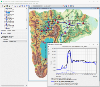
| HEC-HMS is a program commonly used to generate hydrologic models.
(Image Source: Hydrologic Engineering Center, USACE) |
Prior to performing a hydrologic analysis, the following modeling parameters and key assumptions should be considered and addressed in a model work plan as appropriate:
- State the software selection and describe the limitations of the program as they apply to this project.
- Describe the hydrologic scenarios to be modeled and any scenario-specific assumptions that will be applied.
- Note the sources of information and describe the uncertainties or limitations of that information. Also identify data needs and how those gaps will be addressed.
- Describe the approach to watershed and subbasin delineation. Watersheds should be subdivided as needed to maintain hydrologic homogeneity and reasonable size.
- Note the sources of precipitation depths and durations including how rainfall will be temporally and spatially distributed over the watershed. Also describe how seasonality and antecedent conditions will be considered in the analysis. It may be necessary to model multiple different storm types based on the basin size and prevailing meteorological storm producing conditions observed in the region.
- Describe the anticipated methods for simulating hydrologic response of the watershed including precipitation losses and infiltration, unit hydrograph transformation and the associated time of concentration, and reach routing.
- Summarize information regarding dams, spillways, and reservoirs where reservoir routing will occur. This should include a description of reservoir routing methodology, initial reservoir levels, stage-storage-discharge curves, and assumed operation of gated spillways or outlet works. Information and assumptions regarding dam breach approach should also be provided if applicable.
- If a parametric sensitivity analysis is planned, describe the approach.
- Describe the model validation or calibration approach. If historic gage data are used for calibration, provide detailed descriptions of the available information. If no basin-specific data is available, describe what, if any, regional data may be available to inform calibration of the basin response. Verify regional data is applicable for the drainage basin size and physiographic characteristics.
Development of this page was sponsored by the Montana Department of Natural Resources & Conservation with funding from the FEMA Assistance to States Grant Program.
Revision ID: 8026
Revision Date: 08/06/2024