
National Engineering Handbook: Chapter 7 - Hydrologic Soil Groups
Natural Resources Conservation Service, 2009
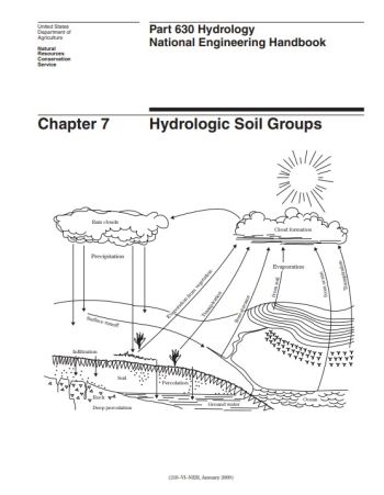
This chapter defines four hydrologic soil groups, or HSGs, that, along with land use, management practices, and hydrologic conditions, determine a soil's associated runoff curve number (NEH630.09). Runoff curve numbers are used to estimate direct runoff from rainfall (NEH630.10).
A map unit is a collection of areas defined and named the same in terms of their soil components or miscellaneous areas or both (NSSH 627.03). Soil scientists assign map unit components to hydrologic soil groups. Map unit components assigned to a specific hydrologic soil group have similar physical and runoff characteristics. Soils in the United States, its territories, and Puerto Rico have been assigned to hydrologic soil groups. The assigned groups can be found by consulting the Natural Resources Conservation Service’s (NRCS) Field Office Technical Guide; published soil survey data bases; the NRCS Soil Data Mart Web site (http://soildatamart.nrcs.usda.gov/); and/or the Web Soil Survey Web site (http://websoilsurvey.nrcs.usda.gov/).
Revision ID: 5887
Revision Date: 12/16/2022